Sediment stacks
Read bedding planes the way a historian reads archives: flood, drought, ash, and quiet seas stacked in order.
Every layer of sediment records a chapter of our planet, from ancient seabeds to drifting ash, layered across millions of years beneath us.
Our interactive maps let you peel back the crust to trace how stones, fossils, and deep time combine to shape the ground beneath your feet.
Start DiggingLithos pairs map layers with field craft so you can peel the crust, name the stone, and follow time downward.
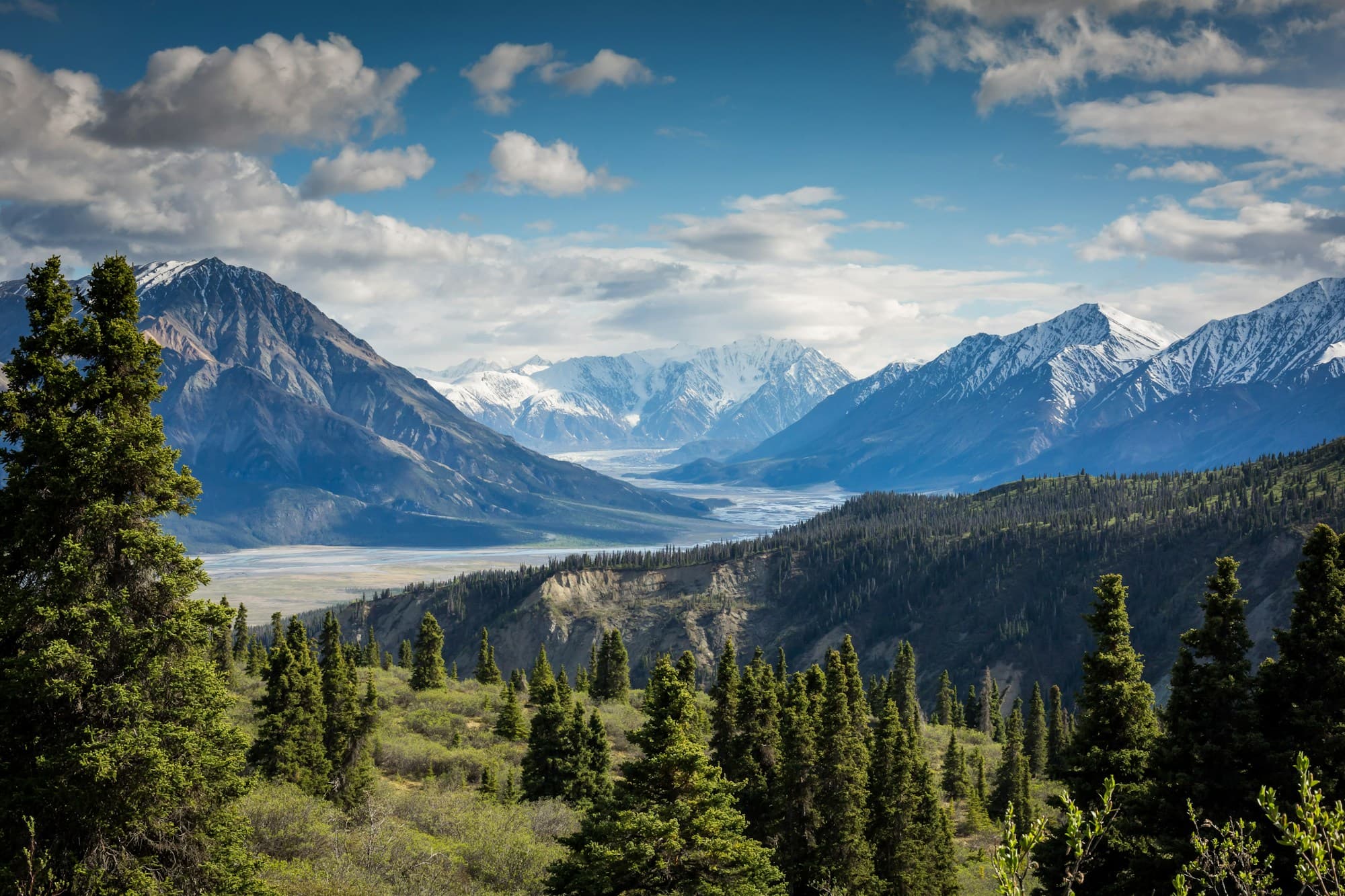
Read bedding planes the way a historian reads archives: flood, drought, ash, and quiet seas stacked in order.
Track shells, tracks, and plant impressions that pin each bed to a living moment in deep time.
Slide through strata on interactive maps built from field notes, cores, and satellite relief.
Guided routes that turn roadside cuts and quarry walls into readable chapters of Earth history.
Start at the surface and dig older. Each module links a map layer to the rocks you can still touch in the field.
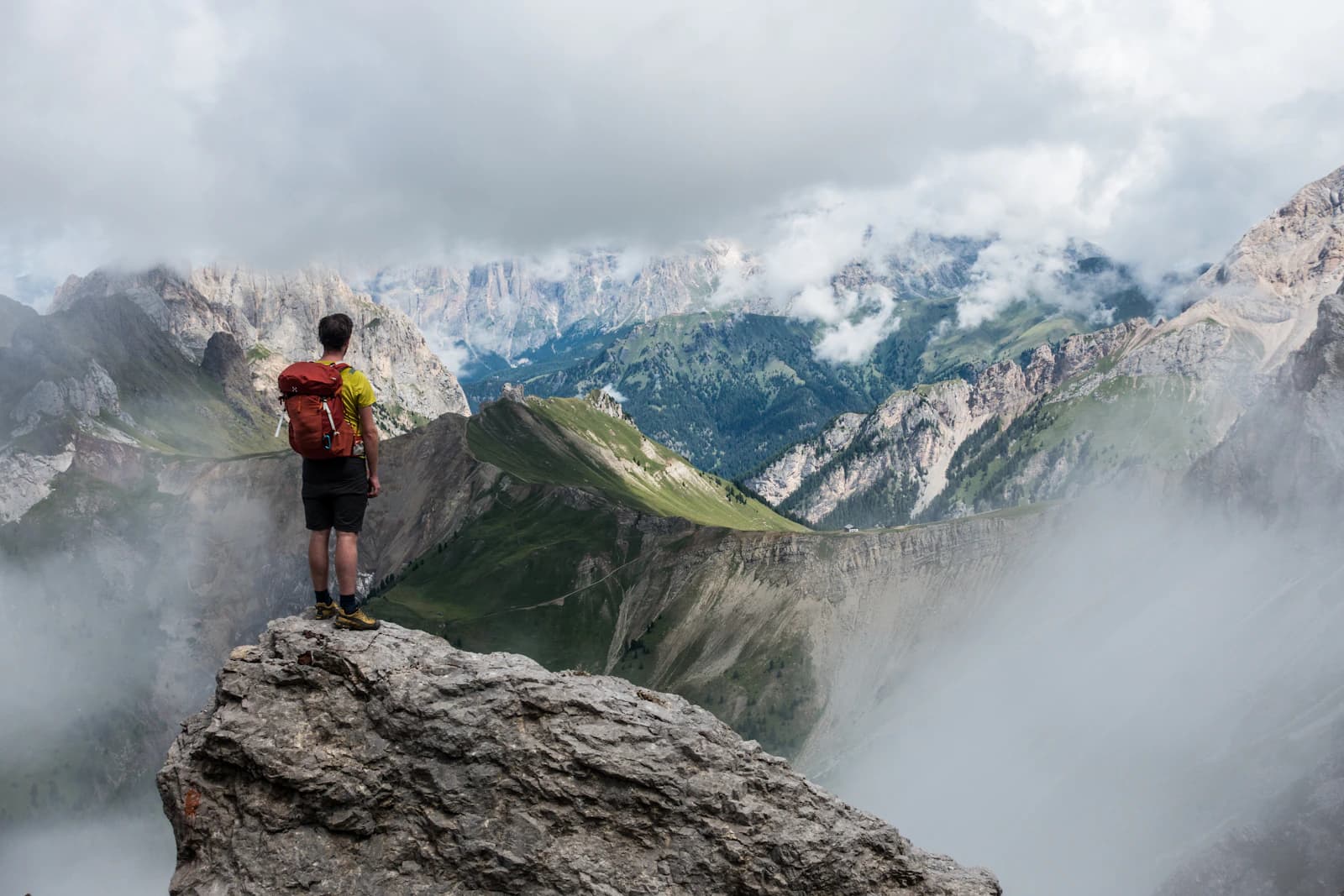
Ice, rivers, and soils that still shape valleys and coasts.
Uplift, grasslands, and the rise of modern mountain belts.
Warm seas, early mammals, and ash beds after the end-Cretaceous.
Limestone shelves, desert dunes, and fossil-rich mudstones.
Start free on the surface. Upgrade when you need the full stack of maps, course modules, and live tours.
Free
Public map layers, one regional guide, and sample outcrop walks.
$18/mo
Full peel-back maps, the deep-time course, and live tour seats.
$48/mo
For clubs and classrooms that dig together across regions.
“I finally stopped guessing at road cuts. Lithos taught me to read the beds in order, not as random rock.”
“The peel-back maps make deep time feel local. Students see their own valley as a stack of seas and ash.”
“Live tours are the closest thing to standing on an outcrop with a patient mentor who never rushes the story.”